An interferogram of the Reykjanes Peninsula by the Icelandic Met Office. (An interferogram is a pattern formed by wave interference, especially one represented in a photograph or diagram.)
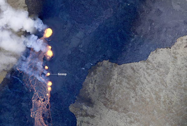
On July 4, a very moderate earthquake activity (seismicity) at the Reykjanes Peninsula (SW-Iceland) turned into a powerful series of quakes, ranging from very small ones to the magnitude of M4-M5. Over 7,000 earthquakes were registered by the Met Office monitoring system between July 4 and the afternoon of July 7. The seismic unrest is located in a relatively narrow NE-trending area between Mt Fagradalsfjall and Mt Keilir, north of the site of the Meradalir eruption in August 2022.
The site is somewhat remote. What causes this massive bout of earthquakes?
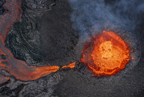
A long magma-filled crack (fissure) forces its way from 8-10 km depth í the crust towards the earth´s surface. The
geological term for the phenomenon is dyke. Geophysical interpretation of data shows that the edge of the dyke is only about one kilometre below the surface (July 7), evident for example from interference radar images (inSAR satellite images) that show crustal inflation (many centimetres) that started already in late June. The Dept. of Disaster Management (Almannavarnir) has issued an orange warning and geoscientists assess that a lava-producing volcanic fissure might soon open up in the area. Hiking south of Keilir is very dangerous and must be avoided. Similar periods of unrest are known to have come to an end without an eruption.

A chart from the Icelandic Met Office showing the earthquake swarm.